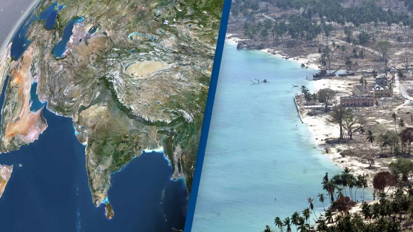
Recent research suggests that the tectonic plate beneath India may be splitting in two. India, the seventh-largest country globally, covers about 3.287 million km², following nations like Australia, Brazil, and the USA. If it were to split vertically, India would form two regions each roughly the size of Mongolia. However, scientists believe the split is occurring horizontally. This theory was presented at the American Geophysical Union conference in December 2023.
The study, titled “Slab tearing and delamination of the Indian lithospheric mantle during flat-slab subduction, southeast Tibet,” explores the origins of the Himalayas. The Himalayas and Tibetan plateau, spanning India, Pakistan, Nepal, China, and Bhutan, were formed by the collision between the Indian and Eurasian Plates, a process that began 50 million years ago, according to the Geological Society.

In a study led by Lin Liu, Danian Shi, Simon L. Klemperer, and others, researchers began by analyzing helium levels in Tibetan springs, leading to a new hypothesis about the tectonic plates beneath the mountain range. They found higher helium concentrations in southern Tibet compared to northern Tibet, suggesting a potential split in the Indian tectonic plate beneath the Tibetan plateau.
To investigate further, the team used ‘3D S-wave receiver-functions,’ a technique that uses data from distant earthquakes to visualize Earth’s structure and internal layers. According to the ESS Open Archive, the study revealed: “Our 3D S-wave receiver-functions newly show orogen-perpendicular tearing or warping of the Indian Plate.”
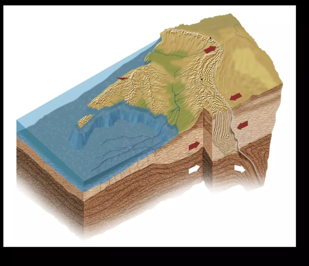
One of the study’s images depicted what appears to be the upper and lower sections of the Indian Plate beginning to separate, suggesting that the plate might be sliding beneath a ‘mantle wedge’ in a process known as ‘underplating’ or ‘subducting.’ The research concludes: “Our SRFs [S-wave receiver-functions] objectively map depths to distinct Indian and Tibetan lithosphere-asthenosphere boundaries across a significant area of southeastern Tibet.
The delineated boundary between the two lithospheres is supported by more subjective mapping of changing SWS [shear-wave splitting] parameters, and by independent interpretations of the mantle suture from mantle degassing patterns and the northern limit of sub-Moho earthquakes.” Essentially, this implies that the Indian Plate is peeling apart rather than splitting into two separate sections.